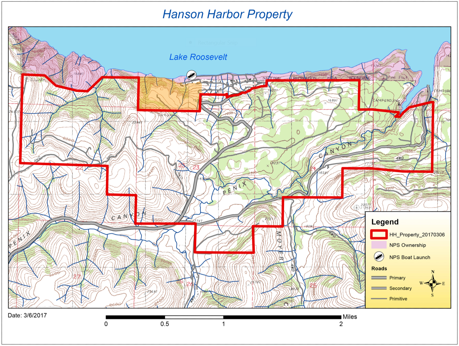
Below is the map illustrating the property boundaries, road access and other items of interest.
Tax Parcel IDs:
2833013400020 2833015400030 2833022100030 2833022900010 2833023600010 2833023900020 28330249000102833026100020 2833903000670 2834019200000 2833014800014 2833015300020 2833013800012 2834018300030
The information depicted on this map is for illustrative purposes only and should not be relied on for any other purpose or to any greater extent. This map is based on publically available mapping, the accuracy of which has not been independently verified.
For other mapped details, you can find more information on Google Maps